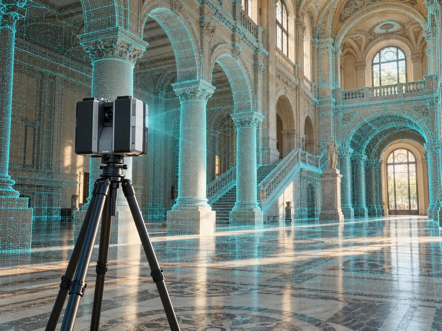
CaptureHi delivers high-accuracy 3D laser scanning, as-built documentation, and Scan-to-BIM modeling for architects, engineers, contractors, and facility owners across Hawaii and the Pacific.
From a single laser scan to a fully modeled Scan-to-BIM deliverable — we support architects, engineers, contractors, and owners at every phase.
High-accuracy LiDAR scanning of buildings, sites, and infrastructure, captured in hours and delivered as registered point clouds.
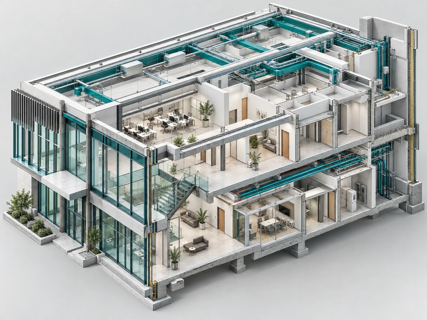
Point cloud data modeled into accurate Revit/BIM elements at the level of detail your project requires (LOD 200–400).
Accurate as-built floor plans, elevations, and sections generated directly from verified scan data.
Detailed capture of ceilings, structure, and MEP systems for clash detection, retrofit, and renovation planning.
Drone LiDAR and ground-based scanning for topographic mapping, grading, and infrastructure surveys.
Get direct access to our most knowledgeable staff and priority assistance for your project.
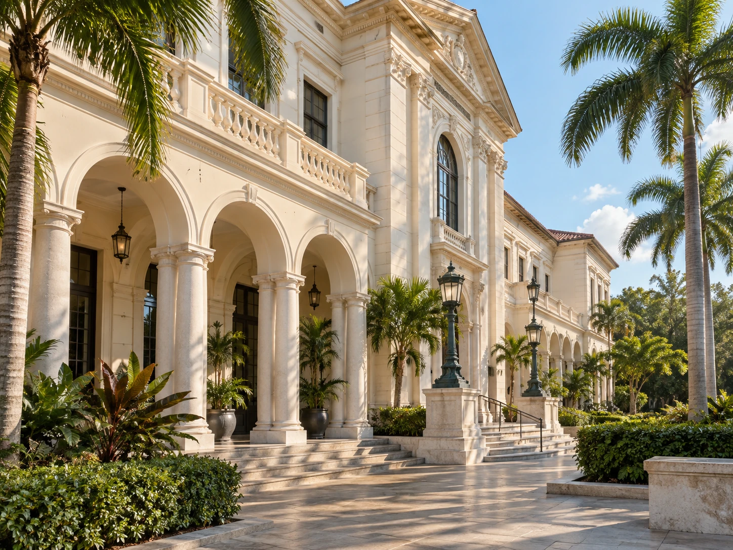
From historic building surveys to full Scan-to-BIM models — browse a sample of what we've delivered lately.
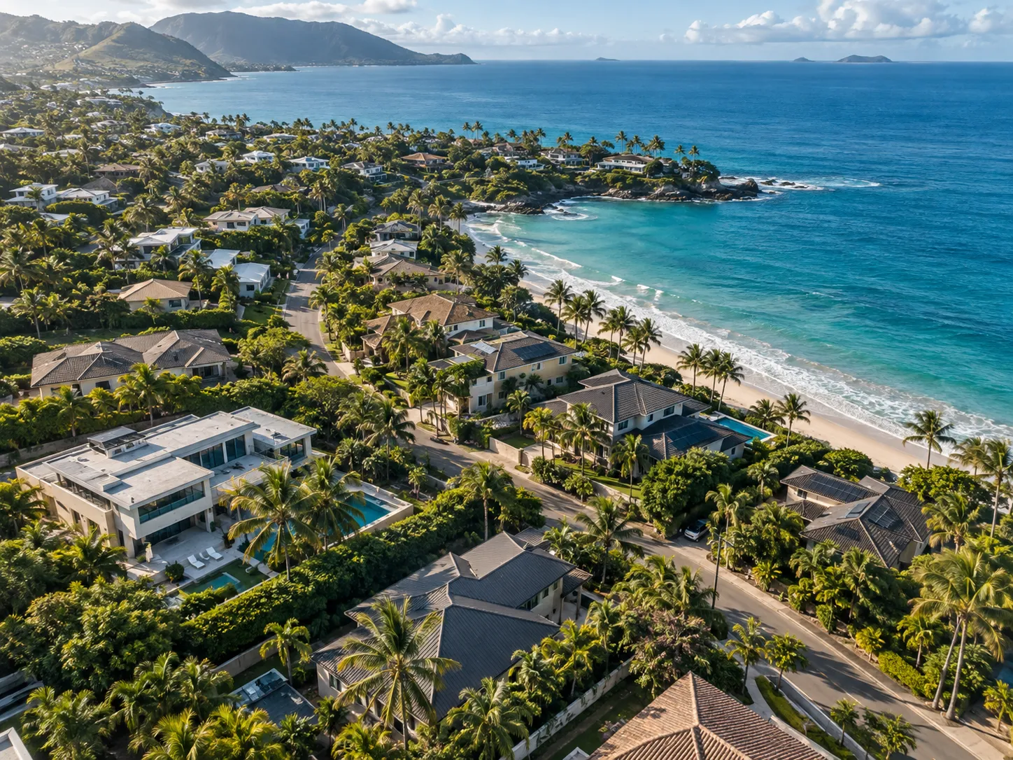
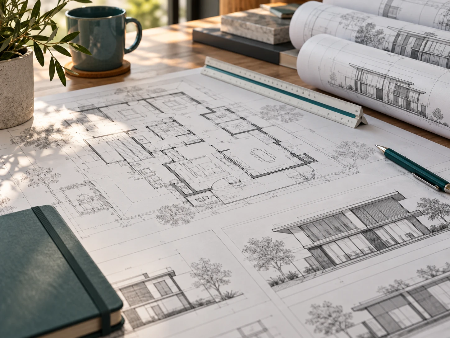
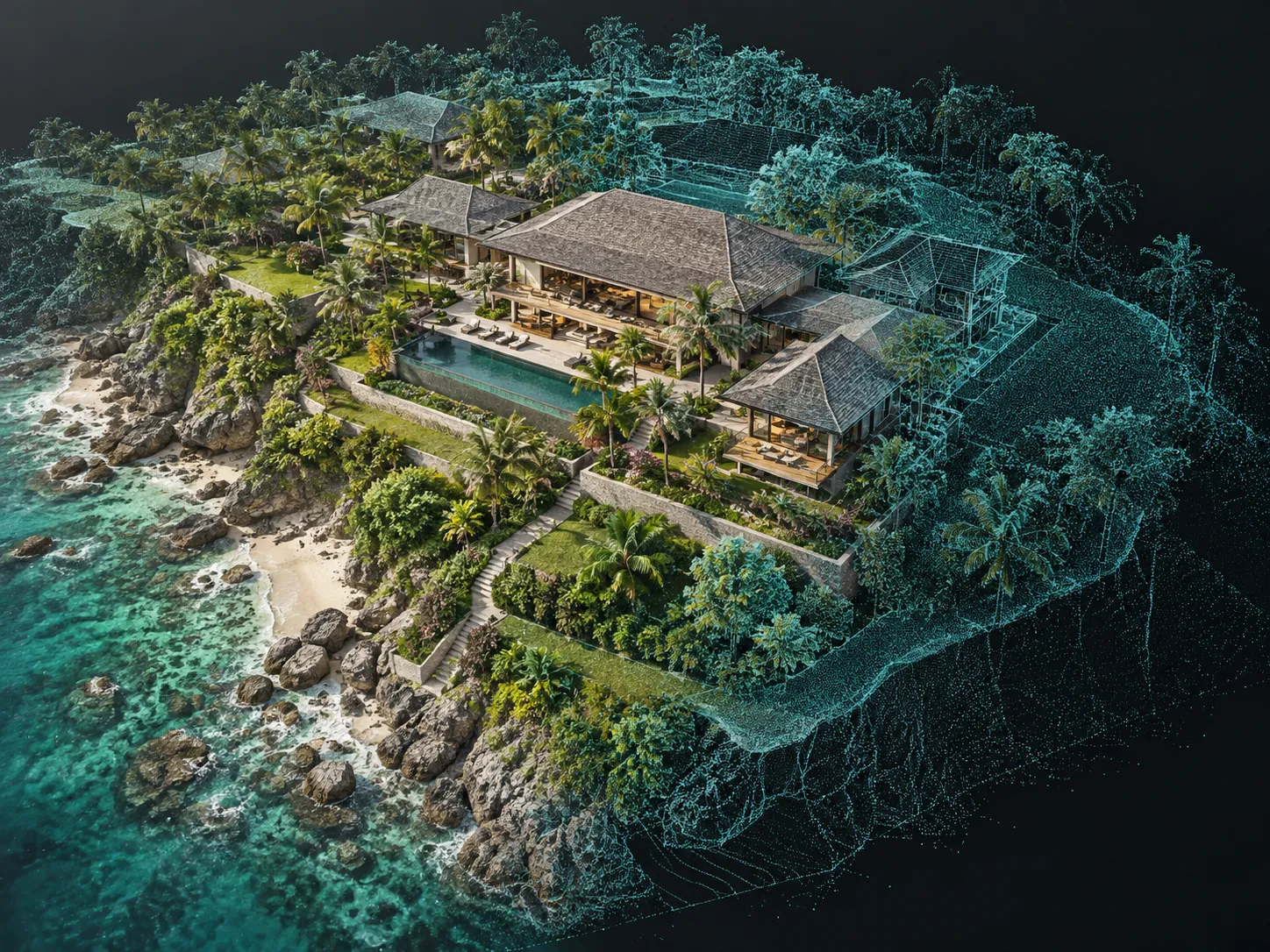
Confidently trusting us to deliver exactly what they need.
Trusted by architects, developers, owners, and builders across Hawaii
"The point cloud and Scan-to-BIM model were exactly what our design team needed — accurate to the millimeter and delivered on schedule."
"Their as-built documentation caught clashes we would have missed in the field. Saved us weeks on the renovation."
"We use CaptureHi for every historic building survey now — the level of detail in their scans is unmatched."
Serving Oahu, Maui, Kauai, and the Big Island. Reach out and we'll respond within one business day.